How to Hike the East Devon Way - 40 Miles of Countryside Glory
The East Devon Way is the secret half-sibling of the South West Coast Path. This 38-mile path starts in Exmouth and winds its way though the East Devon countryside, over hills, across fields and through the quaintest of villages to finish in Lyme Regis on the Jurassic Coast. Where the SWCP is breathtaking and backed by Channel views, the East Devon Way is secretive, vibrant and peaceful.
I discovered this trail by accident. I was simply looking for a good Sunday bike ride when I spied an interesting-looking bridle path snaking out of Exmouth and up to Woodbury Common. Only when I was actually riding this route did I notice the little pink waymarkers and see I was following a named trail.
When I got home, I looked up the route and was all in; I wanted to walk the whole thing.

Walking the East Devon Way
Then along came this little-known pandemic called Covid-19. Not sure if you've heard of it.
During the first British lockdown from the end of March '20 to June, the only walking I was doing was from my front door. When the lockdown ended though and we were free to move around a bit more, I was determined to hike this trail.
Except, East Devon suffers from sparse accommodation at the best of times and with most places remaining closed due to lack of business, my options for overnights stays were extremely limited. A re-think was required.
As I'd already cycled the first stage, from Exmouth to Woodbury, I decided to just focus on walking the last 30-odd miles, from Woodbury to Lyme Regis. This eventually worked out quite well but we were forced to walk an extremely long day for the first day due to no accommodation being open sooner. For anyone who's not a hardy long-distance hiker, I'd recommend splitting this route into 3 days with fairly even mileage, or 4 days.
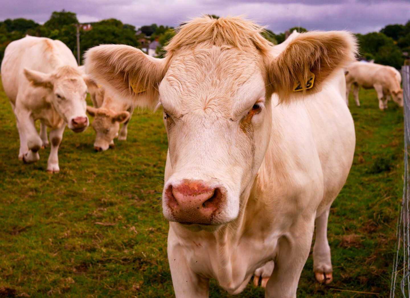
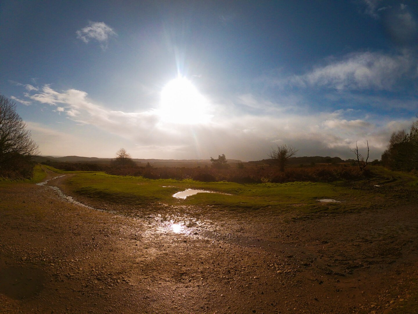
The East Devon Area of Outstanding Natural Beauty holds almost the entire route and every stage is wonderful. It is a perpetually-undulating route however, so expect lots of hills.
Transport to and from the East Devon Way
Getting to the start at Exmouth is easy. This seaside town is at the end of the branch railway line from Exeter, which in turn, has mainline trains to London, Bristol and Plymouth. You can also reach Exmouth from East Devon and Exeter by bus.
Transport in Lyme Regis is a little more limited but it's still a reasonably easy place to reach. Buses are your saviours here, and you can reach Axminster train station and Exeter by bus directly.
The only public transport along the route itself is the X51 bus from Lyme Regis to Exeter. This bus trundles along near the route for significant sections which can be very handy if you're doing this route in separate stints or want to base yourself in one town.
Looking for shorter routes? My hiking pages feature some lovely day hikes too!
Accommodation
I ran into problems here because the majority of accommodation options were closed for the entire summer due to lack of tourism in the area. Places to stay are sparse however, under more normal circumstances, you should be able to find places to stay relatively easily in; Exmouth, Newton Poppleford, Sidbury, Colyton/Colyford and Lyme Regis.
It's definitely important to book in advance for accommodation on this route. You might even be able to get slightly out-of-the-way places to pick you up and drop you back on the route.
Choosing Your Trip Stages
At around 40 (hilly) miles, the amount of days you can do this in very much depends on both your general fitness and how used to long hiking days you are.
I did it in 3 stages, with the first by bike (although it's easy enough to walk):
S1: Exmouth to Aylesbeare Common (11 miles)
S2: Aylesbeare Common to Colyton (19 miles)
S3: Colyton to Lyme Regis (10 miles)
The 19 mile stage was very much too far and we were hobbling for the last few miles. This stage is the hilliest too. If more normal times, I'd suggest:
S1: Exmouth to Aylesbeare Common or Newton Poppleford (c. 11 miles)
S2: Aylesbeare Common/Newton Poppleford to Sidbury (c. 7 miles)
S3: Sidbury to Colyton (12 miles)
S4: Colyton to Lyme Regis (10 miles)
It's hard to make it more even than this, due to the lack of accommodation and public transport.

Day 1 Overview - Woodbury to Exmouth
The East Devon Way starts at Exmouth train station where you'll also find an M&S Food (mmmm). You'll start walking north up the Exe Estuary Trail before cutting inland and heading up on lanes and footpaths to Woodbury Common.
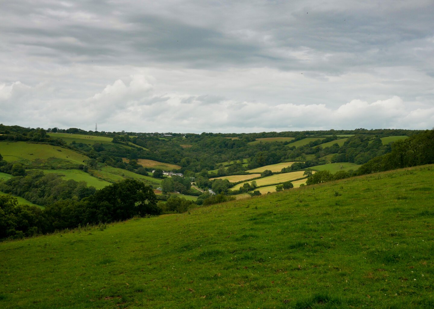
Here, you'll start getting some of the wonderful views the East Devon Way is excellent for. Woodbury Castle, a hillfort, is also here. Cloaked in beech trees, the earthworks are well worth roaming about. The common itself is sandy soil with heather and trees trees that wouldn't look out of place on the savannah.
You'll find yourself at the A3052 after the common. You can either walk west to the Halfway Inn to stay the night or walk west to Newton Poppleford to do the same, both reach via Aylesbeare Common.
Day 2 Overview - Aylesbeare Common to Sidbury
This is a short stage at just over 7 miles but it holds one of my favourite parts of the East Devon Way; Harpford Woods.
After walking around the north of Aylesbeare Commong, you'll cross the River Otter via a pretty old footbridge and walk through Harpford, a teeny, sleepy village. Then you'll get into Harpford Wood, which is dense, lush and just hands down beautiful.


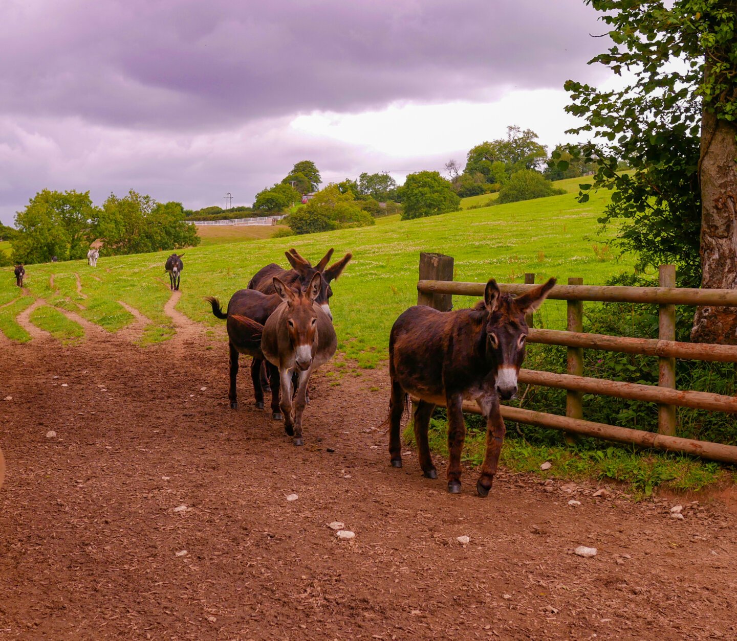
The Donkey Sanctuary charity is based in nearby Sidmouth and own swathes of land in this area. As a result, don't be surprised if you find yourself walking across a field of affable donkeys. There's one as you cross the road from Harpford Woods and head up to Fire Beacon Hill.
Fire Beacon Hill provides some pretty spectacular views south over the undulating hills and down to the English Channel and the top is heathland. The Way stays high until you walk down in Sidbury.
Day 3 Overview - Sidbury to Colyton
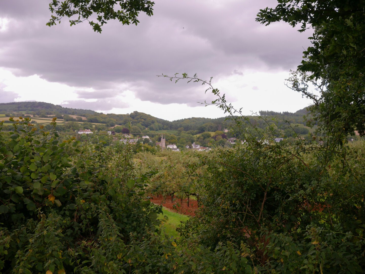
This is another hilly day where the trail meanders about from tiny village to tiny village via woods, streams, fields and lanes. It has some reasonably good views which are not hugely far reaching, but certainly give you a feel for just how many valleys East Devon possesses.
The trail leads you down from the hills and along the River Coly for the last stretch. It'll deliver you into Colyton which, ordinarily, has accommodation options and pubs. Due to Covid, I had to carry on slightly south to Colyford, to stay at the Swallows Eaves Hotel, which is very laid back and friendly.
Day 4 Overview - Colyton to Lyme Regis
Another glorious stretch of path, this 10 mile day was beautiful every step. It briefly wanders up the River Axe before sending you east over some hills and down into Uplyme.
It's the River Lim which is the real superstar of this leg. It's a very short river but it more than makes up for its diminutive size as it chortles through pretty woods then leads you on a tour of the historic back end of Lyme Regis, past water mills and along the Lynch, a beautiful walkway.
The Lim is really the only section of the East Devon Way, aside from the very beginning, where you'll come across that many people. After several days walking the serene paths and lanes of East Devon, the hectic nature of Lyme Regis in tourist season is almost overwhelming.
Right then, be on your (East Devon) way
Walking the East Devon Way isn't hugely challenging in the terrain. It's served by many little villages and you're never particularly far from some form of civilisation. However, it does lack much in the way of amenities and this necessitates some decent pre-planning.
Aside from the start and end points, you won't come across a single supermarket. Village stores are the most you can really hope for, although there are a lot of pubs. This does mean you need to get your food situation planned out in advance.
If you've got more time on your hands, you don't have to end your expedition at Lyme Regis; you can use the South West Coast Path to walk all the way back to Exmouth.
If you want a more thorough guide to the route, one of my clients is komoot and I've created a Collection on the East Devon Way for them, which you can read here if you fancy it. It's got maps and maybe the odd witty aside.
If you go, let me know below and tell me how you found it and what stages you used!